Spatial data quality evaluation
At present there is a pressing need for specialists in the quality of Geographic Information, since quality issues are not included in official university studies.
MORE...
At present there is a pressing need for specialists in the quality of Geographic Information, since quality issues are not included in official university studies.
The control and characterization of the equipment will give us greater accuracy and quality in the processed data.
At present, the quality in the productive processes is an essential aspect for the competitiveness of the companies and this causes the need for specialists in data quality.

Appropriate use of ISO standards related to the quality of geographic information (ISO 19157), implementation of acceptance plans by sampling applying ISO 2859 and ISO 3951 standards, ad hoc designed samplings ...

Francisco Javier Ariza López.
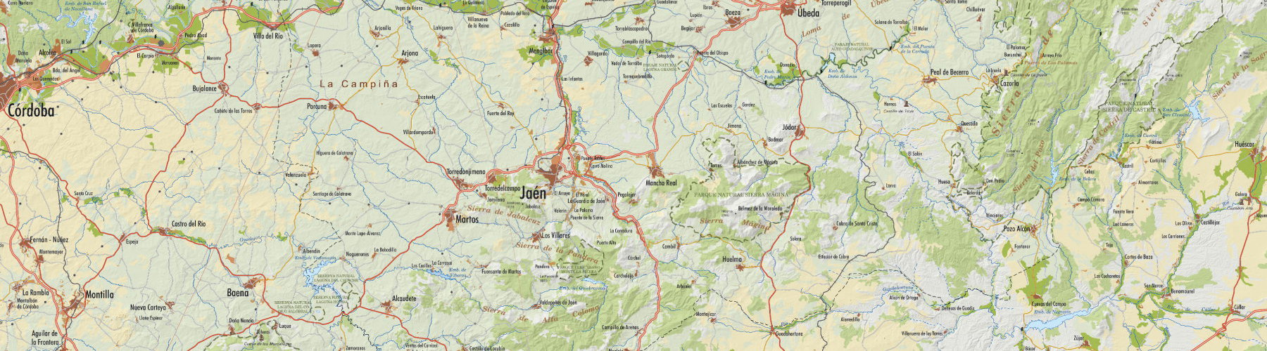
Dpt. of Cartographic Engineering, Geodesy and Photogrammetry.

75 ECTS credits
Each ECTS credit equals 25 hours.

Virtual Classroom.
University of Jaén.

Part A: Quality evaluation of Geographic Information (25 ETCS).
Part B: Quality management of Geographic Information (25 ETCS).
Part C: Master Thesis (MTh) (25 ECTS).

Start-teaching date: 09/25/2017
Stop-teaching date: 06/10/2018
Latest delivery date for the MTh: 11/22/2018
Non-teaching period: Christmas (23/12/2017 to 08/01/2018), Easter (24/03/2018 to 04/04/2018).

Master's Degree of Science in Assessment and Management of the Quality of Geographic Information (3rd Edition)
Preinscription: until 7/09/2017
Registration: From 09/18/2017 to 09/21/2017
Fees (*, **): € 3000
(*) Part A or Part B will be validated for those who are in possession of one Expert Title (EUEQIG or EUGQIG) issued by the University of Jaén in any of its previous convocations. In this case the registration fee will be € 2000.
(**) Parts A and B (50 ECTS) will be validated to those who are in possession of the two titles of Experts (EUEQIG or EUGQIG) issued by the University of Jaén in any of its previous convocations. In this case the registration fee will be € 1000.
The quality of the production processes is a paramount aspect of the competitiveness of companies. Traditionally the issue of quality is associated with large multinational companies which manufacture equipment and consumer goods. Nevertheless our society and companies have evolved and quality is not only a concern of large companies, small and family companies and also public administrations develop their own quality plans and systems. For this reason the job market demands more and more quality specialists.
Geomatics (cartography, photogrammetry, geodesy, remote sensing, surveying, geographical information systems, etc.) is not yet sufficiently close to the quality habits of the industrial processes. In geomatics the positional aspect of spatial information has been a customary quality concern but this does not suffice. Geographic Information has many other perspectives (theme, time, coherence, etc.), and must be understood in the same manner as an industrial productive process: the cartographic production process. Geomatics is based on the use of powerful hardware and software tools but these tools can also be used improperly or in an uncontrolled manner, thus degrading the quality of data being processed.
The new paradigm for the use and distribution of geographic information are the Spatial Data Infrastructures, and quality is a key factor in achieving true interoperability and true profit by means of the synergic use of different data sets. For the above-mentioned reasons there is a current and pressing need for Geographic Information quality specialists. Because quality is not attained in the official studies there is a clear need for training, practical and theoretical, in this discipline.
This Master's Degree aims to cover two fundamental fields of Quality:
The Assessment (quality assessment, QA) and Management (quality management, QM) of spatial data.
After completing the course participants will be able to:
Know and explain the term spatial data quality.
Explain and use basic concepts of probability and statistics applied to quality evaluation os spatial data
Use the ISO standards related to the quality of geographic information (ISO 19157).
Implement control sampling planes by means of ISO standards (ISO 2859, ISO 3951) or by ad hoc designs.
Describe and evaluate quantitatively the uncertainty of geomatics products.
Use the ISO standards related to Quality Management (ISO 9001).
Conduct quality audits.
Manage the quality of Geographic Information in a spatial data-producing organization.
Improve the quality of Geographic Information products.
Use planning as a strategic quality tool.
Admission requirements
Academic level of entrance and background are important. Applicants for the program should have a Bachelor’s degree or equivalent from a recognized university in a discipline related to the course, preferably with working experience.
Admission selection
A selection process of applicants will be followed. Basic selection criteria are the academic and professional curriculum. If necessary, the inscription order will also be considered.
Certification
Only students who pass parts A and B and pass the Master Thesis will receive the master degree certification.
The contents of the course and the marks obtained by the student will be included in the title. It will also be mentioned that this is a virtual program.
Nevertheless, the accreditation will be expedited according to Spanish laws.
It is a task based learning with both theoretical and practical contents. The study load is 20 to 25 hours per week. The teaching methodology is adapted to a virtual course. All the material is provided on line in a digital learning environment platform. Several communication channels are available to contact with teachers: intra platform and external e-mail, forums, Skype and telephone.
For active modules the teachers’ response will be given in less than 24 hours (for working days).

The course is offered in Spanish and English depending on the option chosen in the registration and preinscription. It is not a bilingual master's degree, so you can communicate in the language of your choice. The course material will be provided in the chosen language in the registration, while the forums will be answered in Spanish and English. Participants in distance and virtual programs of the University of Jaén are exempt from language tests. Students of Portuguese language are admitted, who can express themselves in Portuguese and deliver their work in Portuguese.

The MTh is the practical culmination of the Master. The MTh may have application or investigation perspective. It will be an individual job. Each MTh will be assigned a tutor(s) who will carry out the academic guidance.

All the student’s work will be considered for his or her final mark. Study marks will be computed taking into account the test examinations results, the marks of the practical exercises, the mark of the MTh and the active participation in the course.
 OPINIONS
J. Plana Aguilar
ICC, Barcelona-España - 1ª Edición
M.F. Andrés de Araujo
(ULPGC, Las Palmas-España) - 1ª Edición
A. López Palacios
(Murcia-España) - 1ª Edición
L.A Scorsin
(Neocart, Paraná-Brasil) - 1ª Edición
M.D. Gómez Vidal
(Telvent, Sevilla-España) - 1ª Edición