E3DELInG

Evaluación 3D de Elementos Lineales de Información Geográfia
Proyecto Nacional del Ministerio de Educación y Ciencia (2011 - 2014)
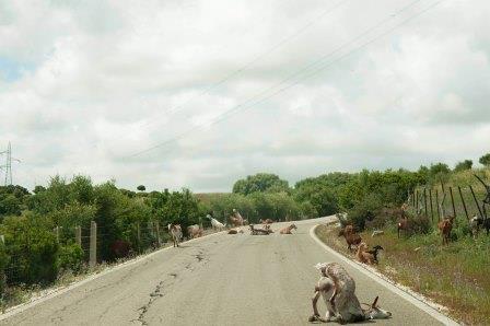
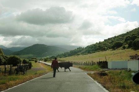
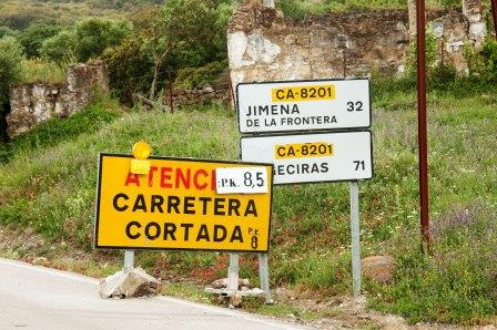
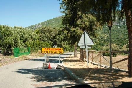
Presentation | Goals | Method | Results | Publications | Team | Collaborations | Photos | Links | Aknowledgements | Contact
.
Presentation
Goals
Method
Results
Publications
Team
Collaborations
Photos
Links
Acknowledgements
Contact
 
Español


start / Photos

Photo Gallery


Pictures


1. Field works

Goat clueless on the road Cows walking on the road
Road closed due to rain Road closed due to rain
Poor state of the road Poor state of the road

2. Testing in pilot area

GNSS device on a car Geodetic equipment to determine plane of the road

3. Equipments

GNSS System + IMU Conventional GNSS Car Navigators

3. Software tool for GNSS traces management

Traces' Selection options Displaying traces on a DEM

5. Multipath effect

Position jumps due to multipath effect Problems derived from the IMU system

6. Multi traces

Example of a multi-trace set Multi-traces displayed on a DEM and Orto

7. An invention

Descending a steep hill ... Marching on the shoulder line.

8. Other pictures


The project has ended, but we continue working on the project to create knowledge and share it with everyone.